
What Does a PAS 128 Utility Survey Cost in Ireland? Understanding the Quote
The practical cost drivers behind a PAS 128 utility survey, with a checklist for comparing scope, verification, access, deliverables and exclusions.
A utility survey is one part of a safe excavation plan. The right question is what evidence your project needs, which uncertainties remain, and how the people doing the work will manage them.
5 MIN READ · Editorial date 5 February 2026
Reviewed 25 September 2026 · This edition includes later research.
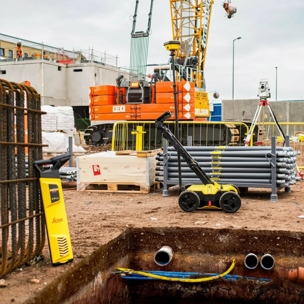
Investigate underground dangers before excavation begins.
A detection survey reduces uncertainty but cannot certify an area as service-free.
Plan the survey, verification and site handover around the actual construction activity.
The HSA excavation guidance states that appropriate investigations to locate possible underground dangers are required before excavation begins. Those dangers include cables, other distribution systems, fluids and gas. The necessary precautions depend on the work and the site.
The HSA Code of Practice provides practical guidance. Its status matters: compliance or non-compliance can be admissible as evidence in relevant criminal proceedings. A failure to follow the code does not, by itself, automatically create civil or criminal liability.
For a project team, arguing about whether every job needs a product called a “utility survey” can distract from the real task. Define the activity first. A foundation excavation, a borehole, a fence post and a trenchless crossing all penetrate or affect the ground, but their investigation and control needs may differ.
Start by assembling available information from the client, asset owners and previous projects. Identify the area of work, then look beyond it where nearby assets could affect the method, access or consequences of an incident. Record which information is missing, rather than quietly treating an incomplete response as a complete search.
Walkover observations add context: chambers, valves, poles, cabinets, patches in the surfacing and building connections can suggest questions that the records do not answer. Detection and, where justified, controlled physical verification add further evidence.
HSG47, the UK technical guidance, describes a safe system in terms of planning, locating and identifying services, and safe excavation. It is useful supporting context, while Irish statutory duties and the HSA guidance remain the relevant starting point here.
A service can be difficult to detect because of its material, size, depth, surroundings or the available access. Closely spaced networks can complicate interpretation. Where a signal is not detected, the correct conclusion may be that the evidence is insufficient, not that the ground is clear.
The same care applies to depths. Understand what the reported depth refers to, how it was obtained and whether it was verified. A drawing symbol should not be converted into an excavation clearance without considering the method and its limitations.
The report should identify obstructed areas, uncertain routes and recommendations for further investigation. These are useful findings. They help the project target the next step, rather than encouraging confidence that the evidence cannot support.
An illustrative example is a new drainage run across an occupied site. Surveying only the trench centreline may overlook the working width, connection points, plant access and temporary works. Defining those interfaces before commissioning helps the investigation answer the construction question.
For early design, a broader understanding of routes may help compare options. As the design becomes fixed, targeted verification at consequential crossings may be more useful than repeating the same level of detection everywhere. The investigation can develop with the project.
Conversely, a very detailed survey is of limited use if it excludes the one area where a connection must be made. The best scope combines an accurate extent drawing with a brief description of the intended works and the decisions the information must support.
Show the proposed excavation and working area on an extent plan.
Identify known services, connection points and critical interfaces.
State the required drawing formats, coordinate system and reporting needs.
Ask how inaccessible areas and unresolved routes will be recorded.
Commissioning a survey does not transfer every project duty to the surveyor. The client, designers, project supervisors, contractors and operators have different roles. The allocation of contractual liability depends on the appointment, the contract and the facts; it should not be reduced to “the person digging is always liable”.
Decide who receives the survey, who reviews discrepancies and who makes decisions when new information appears. The method statement and site controls should refer to the relevant survey revision and unresolved issues. A clear escalation route is particularly valuable when the site evidence differs from the plan.
The surveyor should be told when the work changes. A revised layout, deeper excavation or new access route may move the activity outside the original investigation. A previous survey can remain useful without being sufficient for the revised work.
Before work starts, hold a short handover focused on the places where the project is most exposed to uncertainty. Explain the drawing legend, the extent surveyed and the further checks or hold points that the competent site team has specified.
Keep the information available in a usable format at the workface. Maintain markings and records as appropriate, and review the plan when unexpected assets or discrepancies are found. A change in conditions is a reason to reassess, not to improvise around an unexplained line.
The practical value of this approach is continuity. The project moves from available records to investigated evidence, then to a controlled working method and finally to a better as-built record. Each step carries the limitations forward instead of losing them at the next handover.
Commission the investigation early enough to influence the design and method. Then make sure its findings, including its limitations, reach the people responsible for carrying out the work.
Sources checked on 25 September 2026. Current guidance and policy updates belong to this reviewed edition, rather than the earlier assigned editorial date.
Investigation of underground dangers before excavation.
Irish safe-working guidance, including the limitations of plans and the responsibilities of project participants.
UK guidance used as supporting technical context, not as Irish legislation.



2 Bridge St, Athlone, Co. Westmeath, N37 F1W4
+353 (090) 640 3114
info@utilistics.ie
Mo - Fri : 08:00am - 17:30pm
Sat : 09:00am - 14:00pm